


THE ASTRONAUT
Meet Butch Wilmorethe astronaut
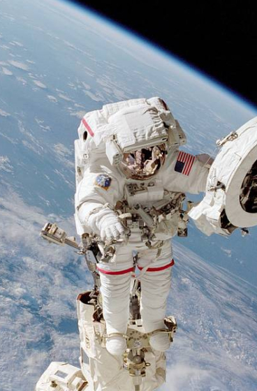
Meet Suni Williamshumans in space
Commercial Crew Program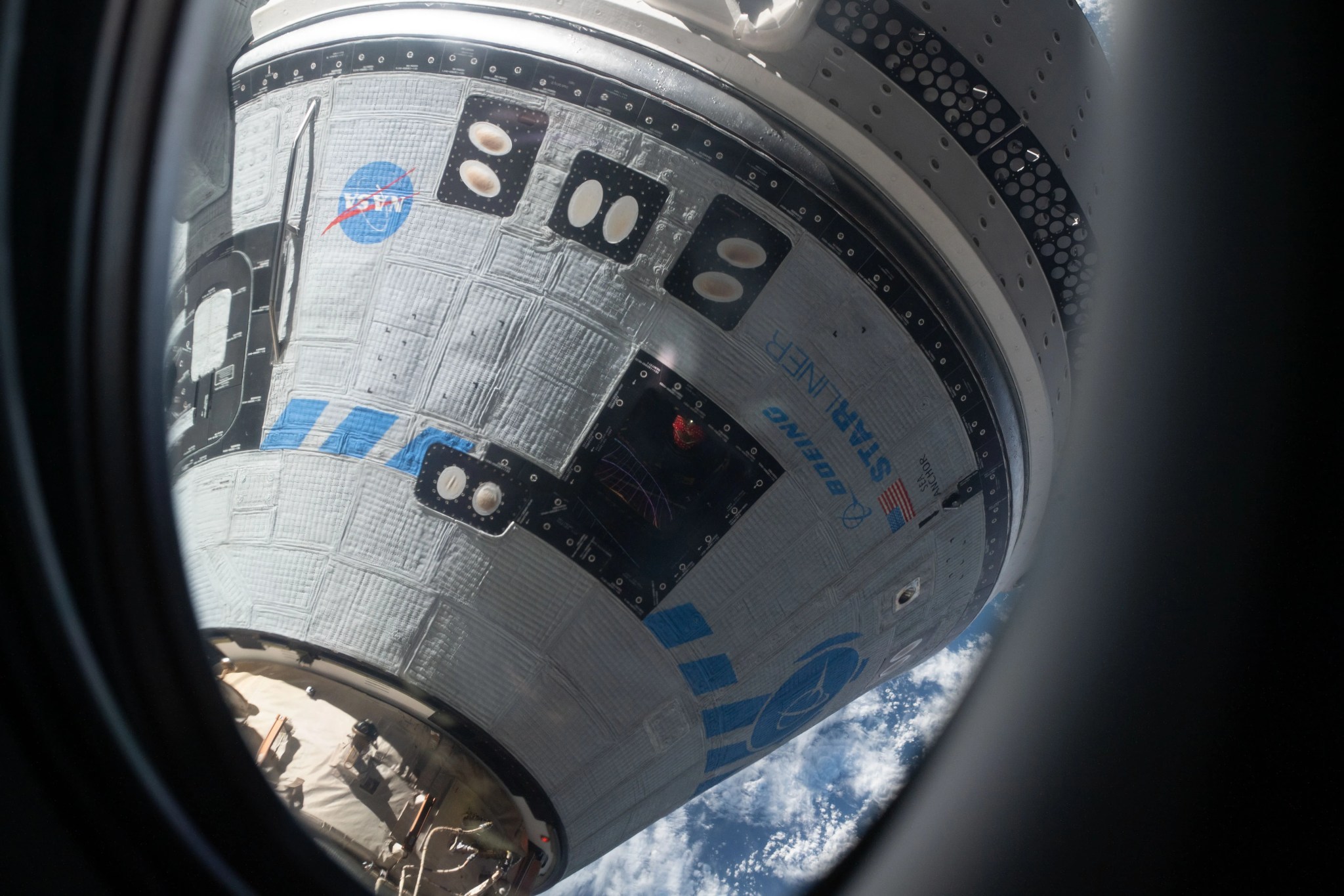
citizen science
Current Opportunitiescitizen science
Comet Discoverycitizen science
Active Asteroids
changing ecosystems
NISARatmospheric conditions
GOES Satellite NetworkEarth’s solar energy input
TSIS-2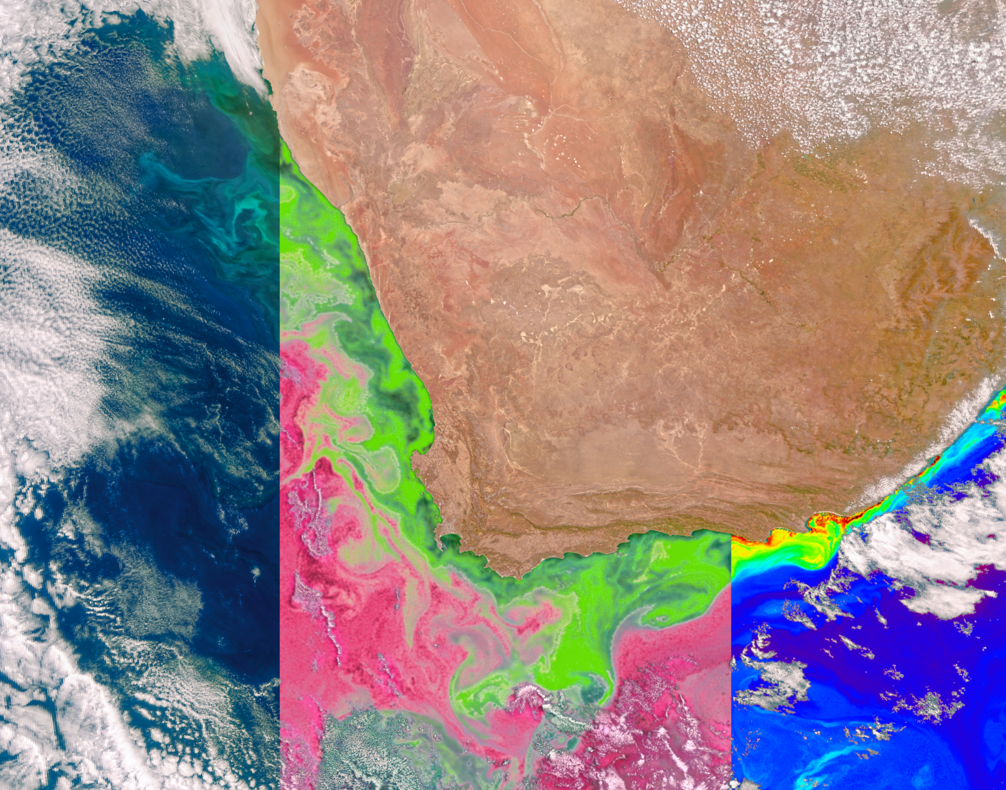

Featured News


Crew Flight Test: The Astronauts
On this episode of Houston, We Have a Podcast, NASA’s Boeing Crew Flight Test Commander Butch Wilmore and Pilot Suni Williams discuss their astronaut journeys and preparation to be the first humans to fly Starliner.
Listen about Crew Flight Test: The Astronauts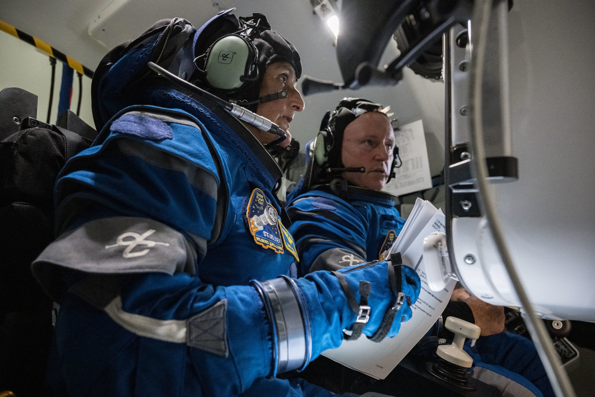
Today
Image Of The Day
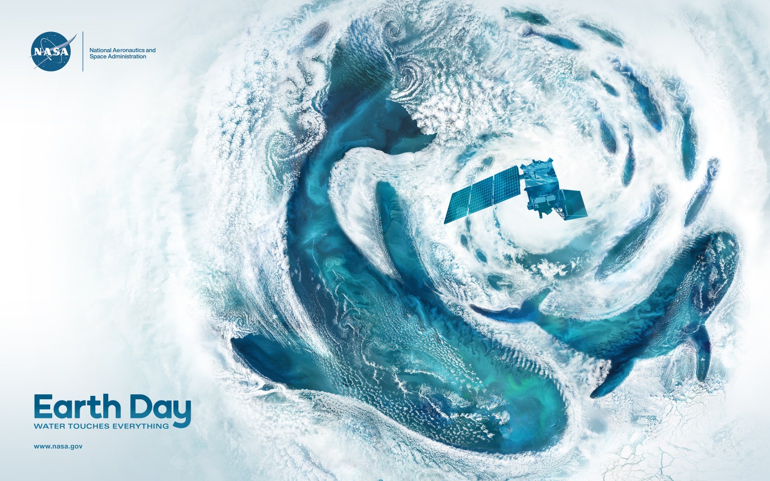
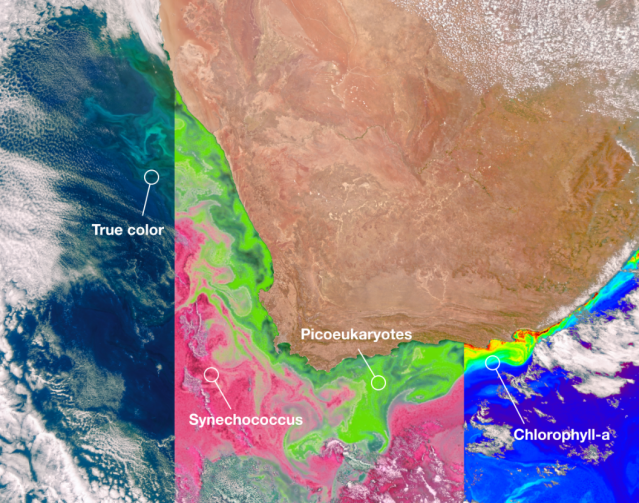
Water Touches Everything
The ocean holds about 97 percent of Earth’s water and covers 70 percent of our planet’s surface. According to the United Nations, the ocean may be home to 50 to 80 percent of all life on Earth. Even if you live hundreds of miles from a coast, what happens in the ocean is fundamental to your life.
Earth Information Center
For more than 50 years, NASA satellites have provided data on Earth's land, water, air, temperature, and climate. NASA's Earth Information Center allows visitors to see how our planet is changing in six key areas: sea level rise and coastal impacts, health and air quality, wildfires, greenhouse gases, sustainable energy, and agriculture.
Start Exploring about Earth Information Center
Latest News


NASA Leadership to Visit Mexico, Strengthen Cooperation

NASA Embraces Sweden as Newest Member of Artemis Accords Family
New York Students to Hear from NASA Astronaut Aboard Space Station

NASA Welcomes Switzerland as Newest Artemis Accords Signatory
Explore the Universe from your Inbox
Stay up-to-date on the latest news from NASA–from Earth to the Moon, the Solar System and beyond.
We will never share your email address.


